Commentary
How to build the best digital wayfinding solution
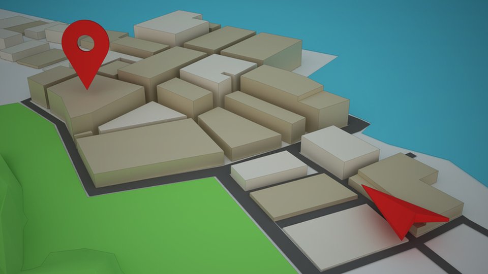
One of the most important elements in digital wayfinding is to plan in detail. Figure out everything going into your wayfinding before starting the design process, down to the smallest detail.
November 5, 2019 by Sean Matthews — President & CEO, Visix, Inc.
 ChatGPT
 Grok
Grok Perplexity
 Claude
This is part two of a series analyzing digital wayfinding. Part one focused on general design principles. Part two looks at more specific tactics.
One of the most important elements in digital wayfinding is to plan in detail.
Figure out everything going into your wayfinding before starting the design process, down to the smallest detail. The only cost here is time, but you will save more time and money down the line by coming up with a cohesive strategy that works for your specific facility. You might even ask your designers for a checklist of things you need to prepare for your first meeting.
Verify maps
Often a marketing person gets a map from the facility manager, and then forwards that map on to the development team. Is the map accurate? Are rooms still actually numbered the way the map says they are? You have to make sure that the map you present to your audience is 100% accurate; otherwise, it’s not useful. Having to go in later and revise or update maps causes delays, and if your interactive wayfinding is being designed by an outside vendor, this will eat up at least one paid revision. (You usually only get a few before you are charged more.)
Walk in their shoes
Ensure your maps are accurate maps from the beginning by doing a walkthrough audit. Also, check to see if any construction or changes are planned in the near future. Remember that wayfinding is all about the visitor experience. So, if your wayfinding map says Room 227 but the plaque outside the room says "Bubba Room" you just caused confusion for your audience, which is the exact opposite thing your wayfinding system is trying to accomplish.
Dig into directories
Figure out if your maps will be tied into directories, like staff, departments, events or other lists, and verify their accuracy in advance. Think like a visitor and who or what they might be looking for, and determine the source of that information. Your designers will need to know how the data will be pulled into the design, how often you need to update it and how you want people to be able to sort it. There are lots of options, so build your wish list and start from there.
Help designers help you
Provide context
Where you place your interactive screens or kiosks is important for visitors, and it’s also important to the design team. Provide photos of where the displays will be located, with some shots of the surrounding area, most likely traffic routes and access points, and décor. All of this will help them design more effectively. Again, if you have a wayfinding system built into your environmental design, like placards, paint or carpet colors, or even lines on the floor, take photos of those elements for your design team.
Identify hot spots
If there's a key location in a building or on campus, a place you think lots of people will regularly visit or linger at, really highlight it on your maps. Send a picture and quick notes about that location to your design team, so they can consider prioritizing it in the wayfinding design. This can end up helping your audience with orientation.
Leverage mobiles
Offer SMS directions
With so many people using mobile devices every day, incorporating text messaging into your wayfinding might be a good idea. This helps visitors when they walk away from the screen to continue their wayfinding experience. With an option on screen to enter their phone number, people get turn-by-turn directions that guide them as they take the suggested path. There’s so much noise these days, something like this gives them a home base to refer to if they get distracted by something else along the way, helping them get back on track (literally). Text directions can also include route photos, so people can double-check where they are and where they’re going next.
Include QR codes
Another option is to include a QR tag on every page of your wayfinding design. If you build your design using HTML5, it can be hosted on the web or a server. Visitors can simply scan the QR code to be directed to an online version that is responsive to scale to their mobile screen size. That way, they have your wayfinding kiosk right in their hands, with all the features and functionality. Psychologically, it adds a sense of independence, adventure, discovery and satisfaction since they are guiding themselves using their own mobile.
Conclusion
When developing your digital signage wayfinding, always try to see it from the visitor's perspective. It's all about enhancing the user experience, and your facility and design teams should all work toward that goal. But remember, your design will only be as good as the information that goes into it, so avoid disappointment by encouraging open dialogue throughout the process. Gather as much information up front as possible, and get all stakeholder’s input, so you can make decisions and stick to them. This will speed the design process and produce a better product.
Think of it as spatial dogfooding – design an interactive wayfinding system that you would want to use yourself, and make the planning and design process one that you'd want to be a part of.
About Sean Matthews

More From CommentaryMore
Related Media
Subscribe
Get the latest news and resources from Digital Signage Today.