Content
Western Fire Chiefs Association announce Phase 2 Fire Map
October 4, 2022
 ChatGPT
 Grok
Grok Perplexity
 Claude
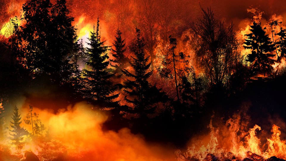
The Western Fire Chiefs Association announced Phase 2 of its Fire Map, according to a press release.
The system now features 3D map views, is the first to integrate real-time firefighting aircraft reporting and also shows California-focused information from the Fire Integrated Real-Time Intelligence System. FIRIS information on California fires comes from a public-private partnership and includes IR and fire perimeter data, along with predictive analytics capabilities.
DST reached out to a representative, who confirmed that the Fire Map can integrate with digital signage, kiosks, and other displays as well as standard web access.
"Wildland fires are often at their most dangerous when they first start," Brent Van Keulen, deputy director at the WFCA, said in the release. "This information will significantly impact the speed in which we can get information out to the public, and will also provide a more detailed and richer level of visual communications to communities at risk."
An embed of the map was provided to DST by representatives below.
Related Media
Subscribe
Get the latest news and resources from Digital Signage Today.
Recent Posts