Article
You are here: The evolution of wayfinding digital signage
DST takes a quick look at the concept of wayfinding and the history of wayfinding signage.
October 17, 2011
 ChatGPT
 Grok
Grok Perplexity
 Claude
The term "wayfinding" was coined in the 1960s by Kevin Andrew Lynch, an architect, urban planner and author, in his book "The Image of the City." Lynch, who studied under Frank Lloyd Wright and went on to become a professor at MIT, contributed to the field of city planning through research on how individuals perceive and navigate the urban landscape. Lynch's book was the result of a five-year study on how users perceive and organize spatial information as they navigate through cities. He defined wayfinding as "a consistent use and organization of definite sensory cues from the external environment."
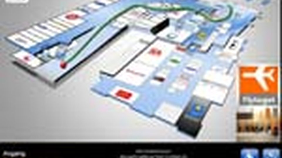
In recent decades, people have ventured further and further from home, and the environments in which they found themselves became more and more complex, without the aid of signage. Today, the term wayfinding is used to define how to move large numbers of people in a large area, such as an airport, casino, convention center or hotel, when those people are unfamiliar with the area and aren't sure where they need to go, using some form of signage to direct them.
Traditionally, wayfinding solutions consisted of static signs or large maps. Unfortunately, if the layout of the facility changed, due to construction or maintenance, or if a destination point was renamed, such as in the case of a mall where retail spaces often change, those maps were rendered useless. Recently, digital signage has provided a mechanism to rapidly deploy updates to multiple locations. But it still required significant manual intervention to plot new routes in response to changing conditions.
In today's busy world everything is changing. But Lynch's book provides a clue on how to handle change and make it an ally. If the digital map could simply respond to the "definitive sensory cues from the external environment" and choose the best route automatically, based on current conditions, then the problem would be solved.
The Dark Ages: Static Signage
The roots of wayfinding signage in a large facility trace back to static signage; directional arrows mounted on a stand, fastened to a wall or hanging from the ceiling.
From there, wayfinding signage advanced to a plastic sheet mounted on a backlit kiosk. If there's one location where most people have encountered such signage, it's at the shopping mall.
"We've all seen those types of signs, with a big index and a pointer that says, 'you are here,'" said Jeff Collard, president of Concord, Ontario-based Omnivex Corp., a provider of content management software for digital signage networks. "It has an alphabetical and categorical listing of all the electronics stores, womens' clothing stores and so forth."
That type of wayfinding signage is still common today. Unfortunately, that's also where most people have encountered the weakness of static wayfinding signage.
According to the International Council of Shopping Centers, there are more than 100,000 shopping centers of all sizes throughout the United States. And although data on store closures is difficult to come by, it's likely a safe bet that any shopping mall that had a bookstore as a tenant likely has wayfinding signage that's incorrect or out-of-date.
"Every time that happens, those malls have to make up a new map, print them up and get them out," Collard said. Unfortunately, with economic conditions being what they are, mall management isn't likely to spend thousands of dollars a week or more to keep its backlit signage inserts updated.
(Excerpted from the recently published DigitalSignageToday mini-guide, "Wayfinding Comes of Age.")
Learn more about digital signage wayfinding.
Included In This Story
Omnivex
Omnivex digital signage software enables organizations to collect, present, and share information in real-time, on any screen.
Related Media
Subscribe
Get the latest news and resources from Digital Signage Today.
Recent Posts